GPS Farm Mapping

Service Overview

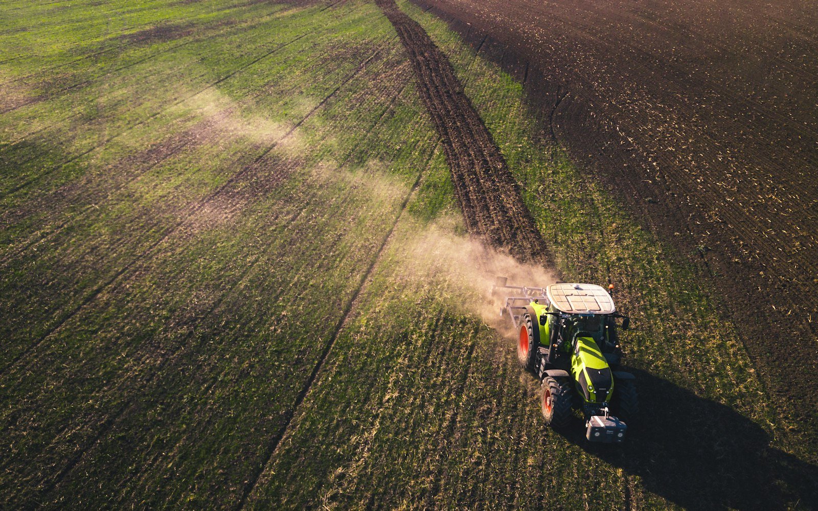
GPS Farm Mapping creates accurate digital maps of farm boundaries, fields, water channels, tube-wells and infrastructure for planning, records and precision operations.

Technology is recommended only where it pays: each tool is matched to a specific decision on the farm, with costs, data requirements and training planned upfront.

What’s Included
  • Boundary and field mapping
  • Infrastructure mapping
  • Area calculation
  • GIS map creation
  • Map for precision operations
  • Records integration
What You Receive
  • Digital farm map
  • Field area schedule
  • GIS files

How We Deliver It

  1. 01
    Needs assessment

    Identify decisions technology should improve.

  2. 02
    Select

    Choose tools, providers and data flows.

  3. 03
    Deploy

    Install, configure and train the team.

  4. 04
    Use the data

    Turn data into field decisions and measure results.

Who This Is For

  • Large farms
  • Landowners with multiple plots
  • Farms adopting precision tools

Popular Question

The questions we hear most often about this service.

Accurate areas improve input planning, records and land management.

Yes, GIS files can be imported.

Often yes, especially as services rather than purchases. We show the cost-benefit for your farm size.

Yes. EBIT Banking & Financial Advisory supports agricultural loans and investor applications.
At a Glance

Typical timeline

Typically 1–2 weeks.

Confirmed in writing after your scoping call.

What we’ll need from you

  • Farm location
  • Access to fields
EBIT Management Consultant
Need Help? We Are Here To Help You
Contact Us
Start an Engagement

Ready to talk about gPS Farm Mapping?

Book a Consultation